Oxford International Student’s Atlas
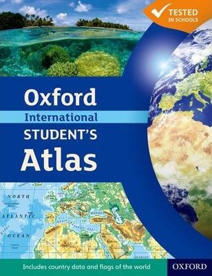
The new edition of the Oxford International Student’s Atlas is the ideal atlas for secondary school students.
It includes stunning satellite images alongside mapping to aid understanding, country data, and easy-to-read colorful mapping, presented in an accessible visual layout based on research into how students use maps.
It covers key themes such as earthquakes and volcanoes, climate and climate change, economic activity, development, and globalization. It provides comprehensive coverage of each continent and the world.
It is the ideal atlas for students to use on exam courses, and is perfectly suited to Cambridge IGCSE (R) Geography and Cambridge International AS and A Level Geography courses.
The Oxford International Student’s Atlas is supported by the Oxford International Student’s Atlas Skills Workbook – a fill-in skills workbook ideal for the classroom and homework.
Product details
- Paperback | 136 pages
- 228 x 292 x 10mm | 554g
- 12 Jul 2012
- Oxford University Press
- Oxford, United Kingdom
- English
- Revised
- 4th Revised edition
- Full Colour
- 9780199137572
- 136,353


Reviews
There are no reviews yet.